A Hidden Corridor for Wildlife & Recreation

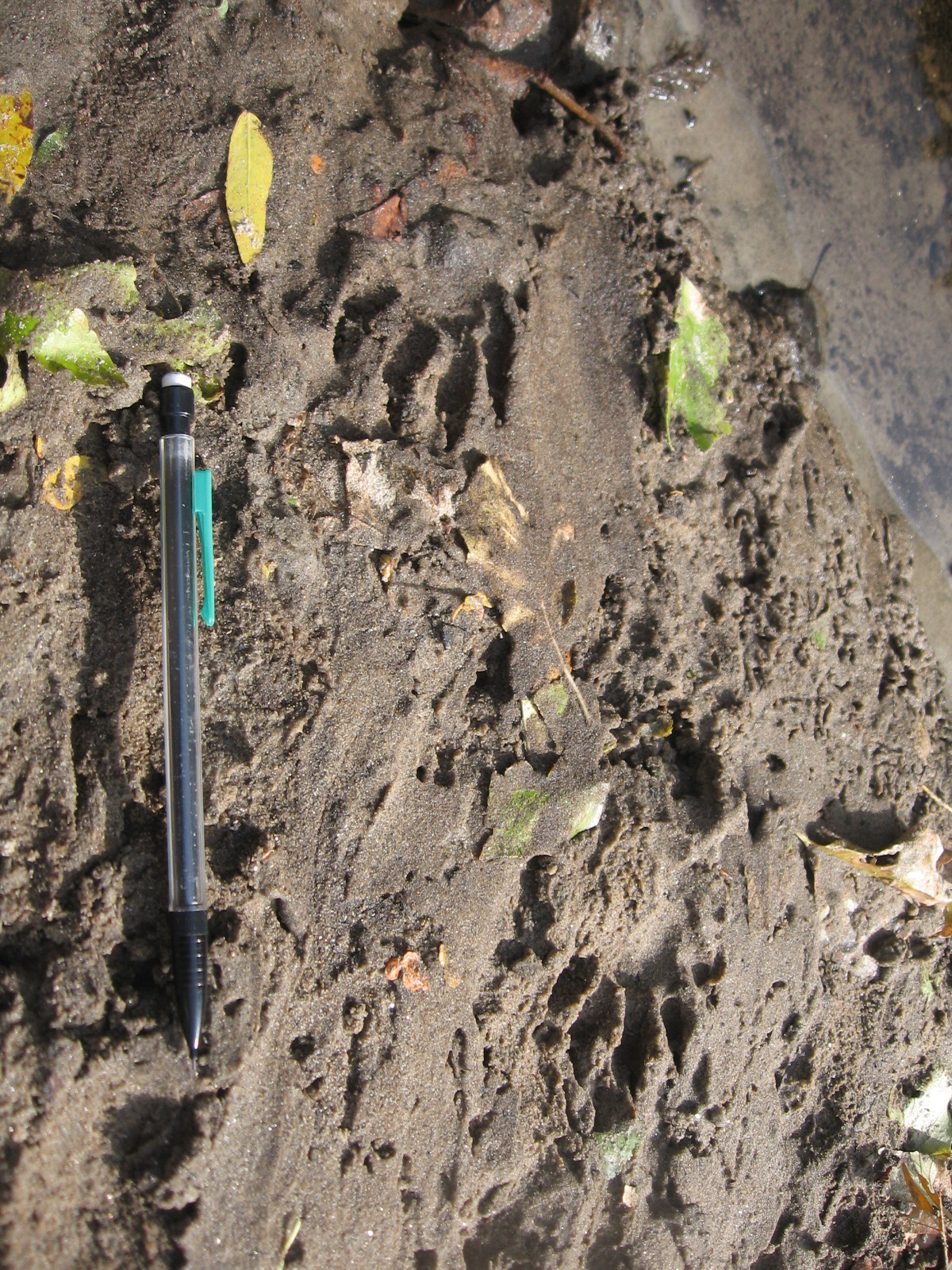
Otter tracks at River Meadow Brook
River Meadow Brook (also known as Hales Brook) drains a 24-square-mile area through Westford, Carlisle, and Chelmsford, and is the primary tributary to the Concord River in Lowell.
The ‘headwaters’ of River Meadow Brook have been protected by the Sudbury Valley Trustees through a 23-acre conservation restriction on the O’Brien Farm.
As the brook flows through Lowell, it is an important corridor for wildlife, as documented by Mass Audubon’s Ecological Extension Service. This report also highlighted the potential of this corridor for recreation, given its direct connection to the Bruce Freeman Rail Trail. This trail connection was prioritized in the City of Lowell’s Open Space Plan, Comprehensive Master Plan, and the Ayers City Industrial Park Plan.

1917 map shows Hales (or River Meadow) Brook meandering through Lowell.
The Lowell stretch of River Meadow Brook is rich in industrial history as the locale for many of Lowell’s earliest mills in the Back Central neighborhood, but you’d hardly know it’s there. This riparian corridor is largely hidden.
As you drive into the city along the Lowell Connector, the brook is on your right. It was largely straightened and channelized to create room for the highway access into the city. Prior to this change it had gently meandered over a broad meadow with many turns. Some of Lowell’s streets in the Highlands still align with the meanderings of River Meadow Brook.
As the brook gets closer to its confluence with the Concord River, it is largely channelized and, in areas, flows underground and under buildings. It enters the Concord River just north of Centennial Island.
The past industrial use and urbanization of River Meadow Brook make it an interesting classroom research site for UMass Lowell geochemistry students.

Water testing on River Meadow Brook for student geochemistry research

